Validating the Spatial Model: A Journey Through Gorontalo’s Irrigation Systems
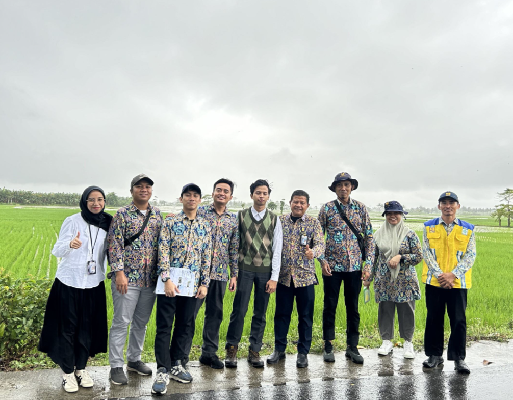
As a GIS consultant dedicated to advancing spatial data analysis for irrigation evaluation, I recently undertook a field validation study in Gorontalo, Sulawesi. This mission was not merely about confirming the accuracy of our spatial model but about bridging the gap between theoretical analysis and the nuanced realities of the field.
Precision in Irrigation: Beyond the Model
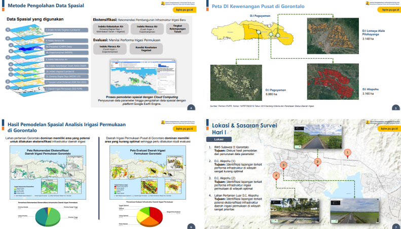
The core of our work lies in developing a spatial model that integrates remote sensing data to evaluate irrigation performance. The model emphasizes three key indices: the Water Requirement Index, Water Balance Index, and Vegetation Health Index. Each of these indices serves as a vital indicator of irrigation efficiency and agricultural health.
However, the true value of this model is tested not in the cloud but on the ground. In Gorontalo, our objective was to validate these indices with real-world data, ensuring that the model reflects actual conditions with precision. This process is critical as it allows for the fine-tuning of parameters and the identification of potential discrepancies, thus enhancing the model's reliability.
Insights from the Field
The field validation in Gorontalo yielded several key insights. Firstly, the data gathered from the Alopohu and Lomaya Irrigation Areas (D.I.) revealed a strong correlation between the Vegetation Health Index and actual crop conditions. This validation underscores the potential of remote sensing to accurately monitor agricultural health across vast areas.
The decision to conduct this study in Gorontalo was strategic, given the region's significance in supporting food supply both within Sulawesi and across Eastern Indonesia (KTI), as outlined in the Regional Infrastructure Development Plan (RPIW) for Gorontalo 2025–2034. Despite this, Gorontalo has experienced a contrasting trend between productivity and harvested area for rice, as reported by BPS in 2023. Additionally, there are indications that agricultural infrastructure has not yet been fully integrated, leading to suboptimal land productivity (RPIW Prov. Gorontalo 2025–2034). These factors made Gorontalo an ideal location for validating our spatial model.
Secondly, discussions with local irrigation experts and farmers highlighted the importance of incorporating ground-level knowledge into the model. While remote sensing provides a broad overview, local expertise offers invaluable context that can refine our understanding of the data. For instance, subtle variations in water distribution that may not be apparent from satellite data were brought to light through these conversations.
Lastly, the study reinforced the significance of continuous validation. As environmental conditions change and irrigation practices evolve, the model must be regularly updated to maintain its relevance and accuracy. This iterative process ensures that the tool remains a reliable resource for decision-makers in water management and agriculture.
Conclusion
The Gorontalo validation study was a crucial step in the development of our spatial model for irrigation evaluation. It demonstrated the model's potential while also revealing areas for improvement. By integrating remote sensing with on-the-ground insights, we are moving closer to creating a tool that not only analyzes but truly understands the complexities of irrigation systems. This journey is not just about data; it's about ensuring that every drop of water is used wisely to sustain agriculture and support communities.