ASRI: an irrigation priority platform government could act on
Led a small team building a decision-support platform that showed where irrigation investment would do the most good, and stood behind it in front of the ministry officials who'd have to fund it.
- Role
- Team Lead
- Period
- 2023
- Location
- Indonesia & Singapore
01Situation
Indonesia's irrigation infrastructure decisions were being made without a consistent way to compare cropland suitability against where water networks could realistically reach. Agencies had the data. They didn't have a model that turned it into a ranked, defensible set of priorities.
02Approach
I led a team of four building ASRI, that modeled cropland suitability, scored areas for irrigation investment priority, and let field teams geotag validation data directly into the system. I coordinated the build with our full-stack engineer, made the modeling calls, and took the platform to senior PUPR stakeholders myself.
03Finding
The model held up. Ranked priorities matched what field teams were seeing on the ground, and the platform gave officials a way to justify allocation decisions with something more rigorous than precedent.
04Outcome
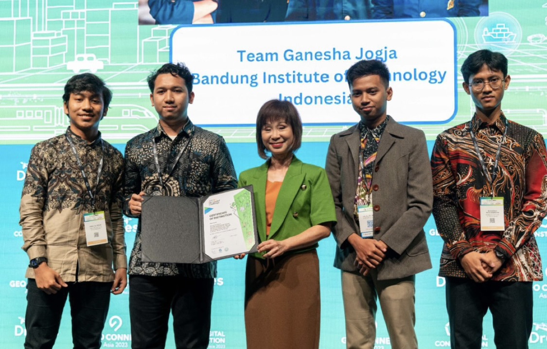
ASRI won a Distinction Award at the ASEAN Geospatial Challenge 2023 in Singapore and now re-branded as ASRI: All Sectors Recommendation Infrastructure that supported evaluation across more than 60 infrastructure projects by three main features, geoplatform, overlay simulation, and geoform