Analytics · Product · Geospatial
Ismail Al Faruqi
Building products and analytical systems for better decisions.
Working across public infrastructure, mobility, and technology, building analytical tools that make complex systems easier to understand and improve.
3+
Years of professional experience
10+
Products & analytical tools built
3
Scopus Q1 publications
2
Industries
 01
01Keeping a mobility platform's map honest at scale
Built operational analytics and data products that improve routing quality, map accuracy, and decision-making across a live mobility platform.
 02
02Reading infrastructure beyond the map
A field study examining how a major road project was experienced by the people living alongside it, using the Infrastructure Justice framework.
 03
03Nusaventure: an interactive travel platform for Indonesia
A production-ready travel discovery platform combining interactive maps and curated local content to explore destinations across Indonesia.
 04
04ASRI: an irrigation priority platform government could act on
Led a small team building a decision-support platform that showed where irrigation investment would do the most good, and stood behind it in front of the ministry officials who'd have to fund it.
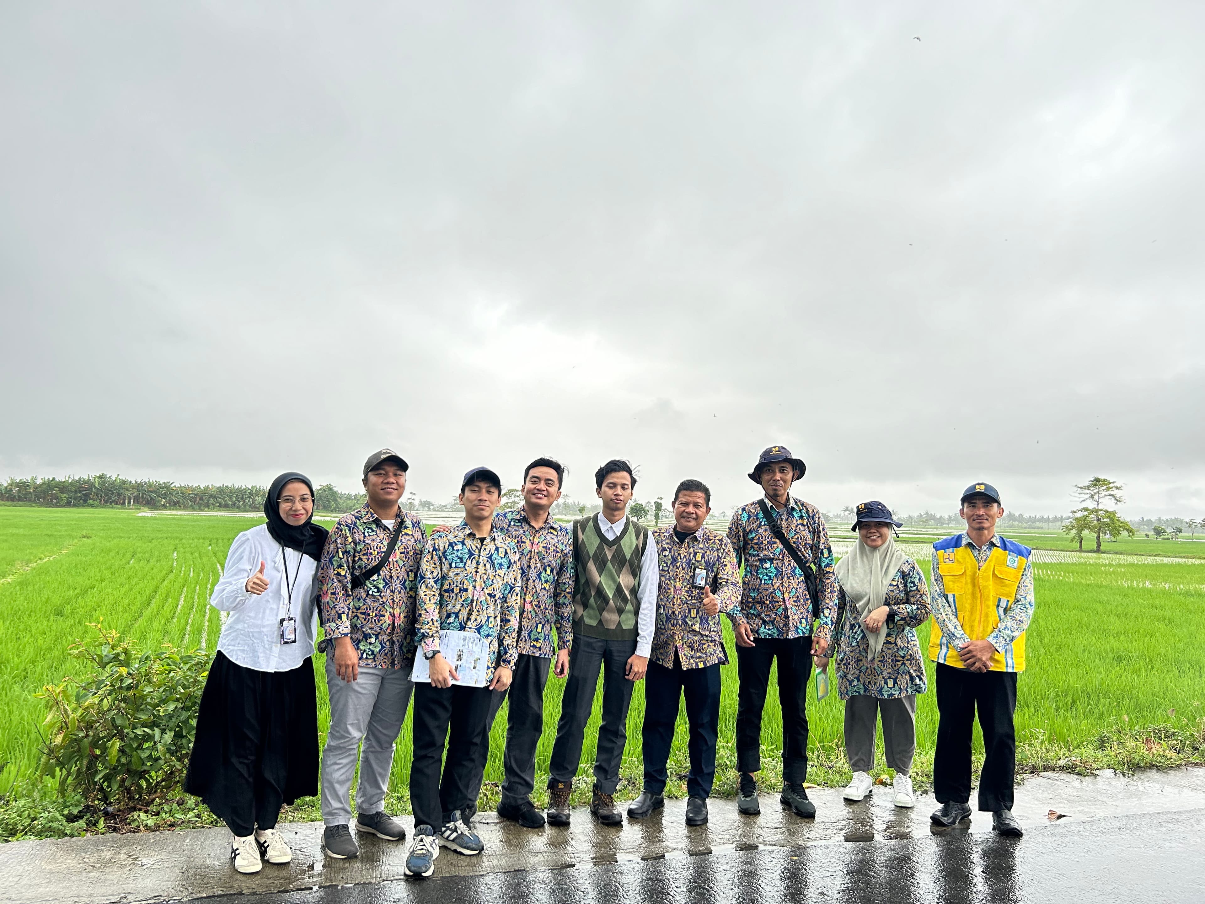
What the rice fields told us that the satellite data didn't
A spatial model for irrigation performance looked solid on paper. Checking it against the Alopohu and Lomaya irrigation areas in Gorontalo told a more complete story.
Read the note
Every project tells a story. Mine usually starts with understanding how things work, why they break, and what could make them better. Here's a little more about the way I think and the work I enjoy.
Focus areas
- Analytics Engineering
- Product & Operations
- Spatial Intelligence
- Infrastructure planning