The fun part of modeling? Seeing what happens on the ground
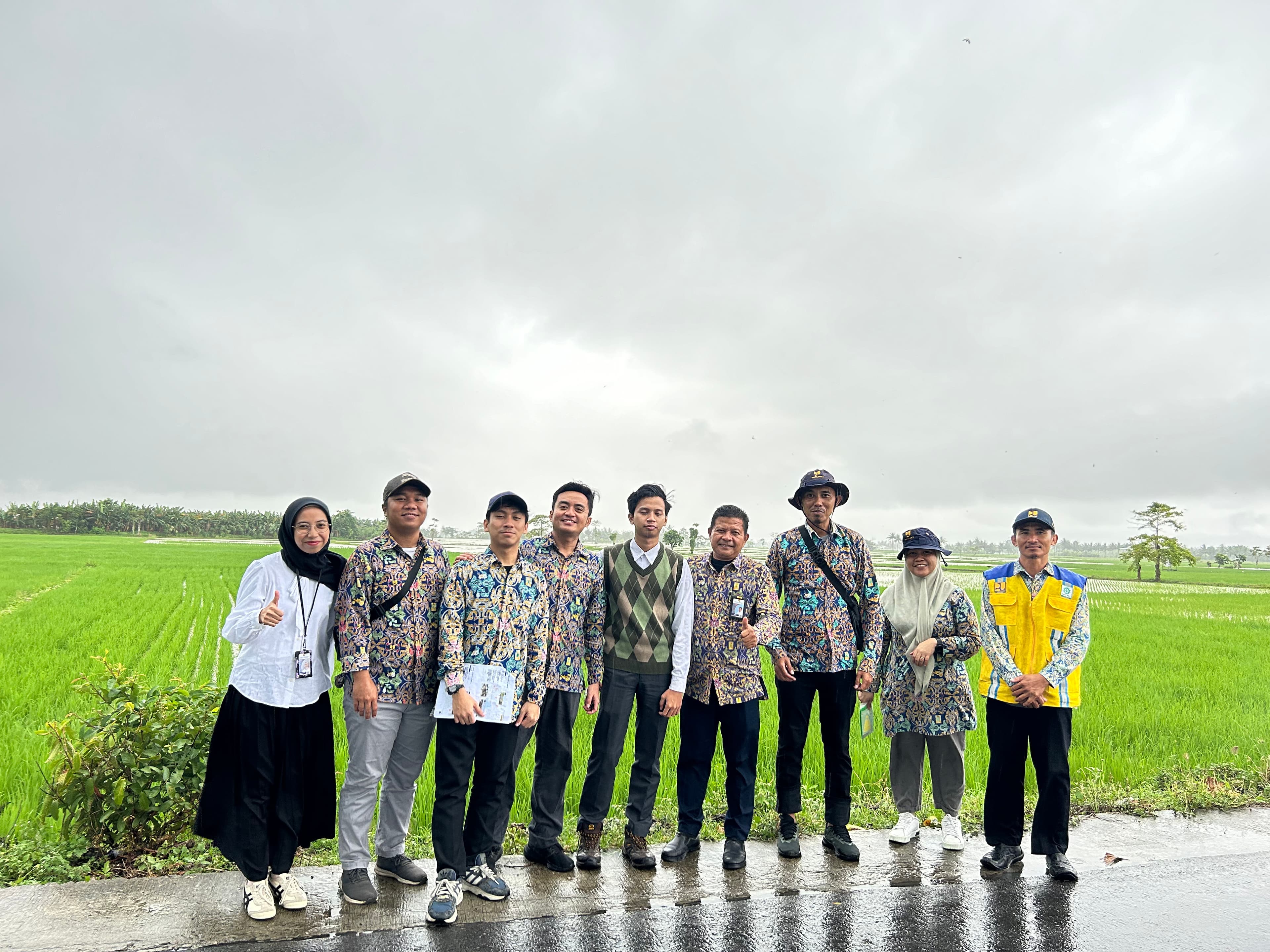
Hi everyone! If you have time to check out the writing section on my website, this is my very first post. I want to share a milestone in my journey that I thought was worth sharing. I gained a lot of experience in the public sector, where I became interested in how a model could actually be implemented and supported by the relevant authorities. I also started to realize how much bureaucracy can shape the process.
I know it may sound a bit too academic, but let me put it more simply. Let's say you're a farmer who owns a large area of farmland. Is the land suitable for growing rice? And if it is, what about access to irrigation water? If your land is highly suitable for rice but has limited access to water, shouldn't it be prioritized for irrigation improvements?
Why Gorontalo
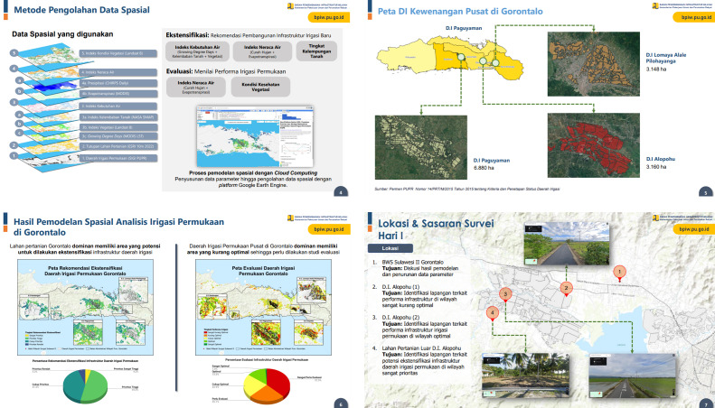
Once we had the model, we chose Gorontalo, a province on the island of Sulawesi. The reason was a pattern worth investigating: between 2021 and 2023, harvested area increased while rice productivity moved in the opposite direction (BPS, 2023).
What the model looked at
Put simply, we used the Vegetation Health Index (VHI) to assess how healthy the vegetation was. Okay, if we go a little deeper, it is not based on NDVI alone. NDVI stands for Normalized Difference Vegetation Index, and we combined vegetation-related indicators with other parameters to assess vegetation health.
We also used the Water Balance Index to assess water-related conditions. Both indices relied on satellite remote sensing data, so we were working with secondary data rather than collecting every measurement directly in the field.
What we found on the ground
What I found interesting was what happened when we compared the spatial model with actual field conditions. In the Alopohu irrigation area, the model indicated an imbalance in the Water Balance Index. But when we visited the area, we found that water was actually in excess during the rainy season, partly because of flooding. Okay, this was interesting to me. If we relied on the model alone, we might have to keep adding more variables to capture what was actually happening on the ground. But that would also make the model more complex. This is why I find ground-checking kind of fun. Sometimes, the field gives us context that we would not have known to include in the model in the first place.
We also found another case where the model indicated a water imbalance. During ground-checking, we found that the Alopohu irrigation area lacked a drainage channel and had significant sedimentation, partly associated with plantation activities upstream. These conditions may have affected how water was managed in the irrigation area and, in turn, crop productivity. Next, we looked at the Lomaya irrigation area. Our pixel-based model indicated that irrigation conditions there were optimal. When we validated the results in the field, we found no major irrigation issues, and the area also had good rice productivity.
Another interesting part of the study was agricultural extensification. We also looked at areas that could potentially support rice cultivation. Our model identified several potentially suitable locations, and when we checked them on the ground, we found existing plantations with good access to irrigation channels and fertile soil. But there is still a lot more to consider before calling these areas suitable for expansion. We would need to look into land-use permits, land acquisition, labor availability, fertilizer supply, and many other factors.
What I took away from it
To me, spatial modeling is a useful starting point before taking action on the ground. In Gorontalo, the gap between harvested area and rice productivity made us look beyond the spatial model and validate what was happening in the field.
What we found also reminded me that irrigation is only one part of the picture. Fertilizer availability, labor, water demand, and the overall performance of the irrigation system can all matter. Understanding these factors also means involving the relevant stakeholders, including the regional river basin authority, when evaluating water-related issues.