Work
A selection of the projects that shaped how I think about infrastructure, data, and who systems are actually built to serve.
12 projects · 2022 to present
 01
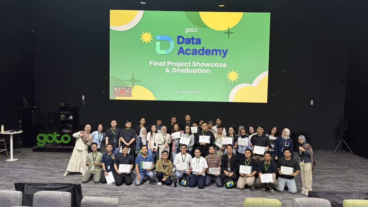
01Keeping a mobility platform's map honest at scale
Built operational analytics and data products that improve routing quality, map accuracy, and decision-making across a live mobility platform.
 02
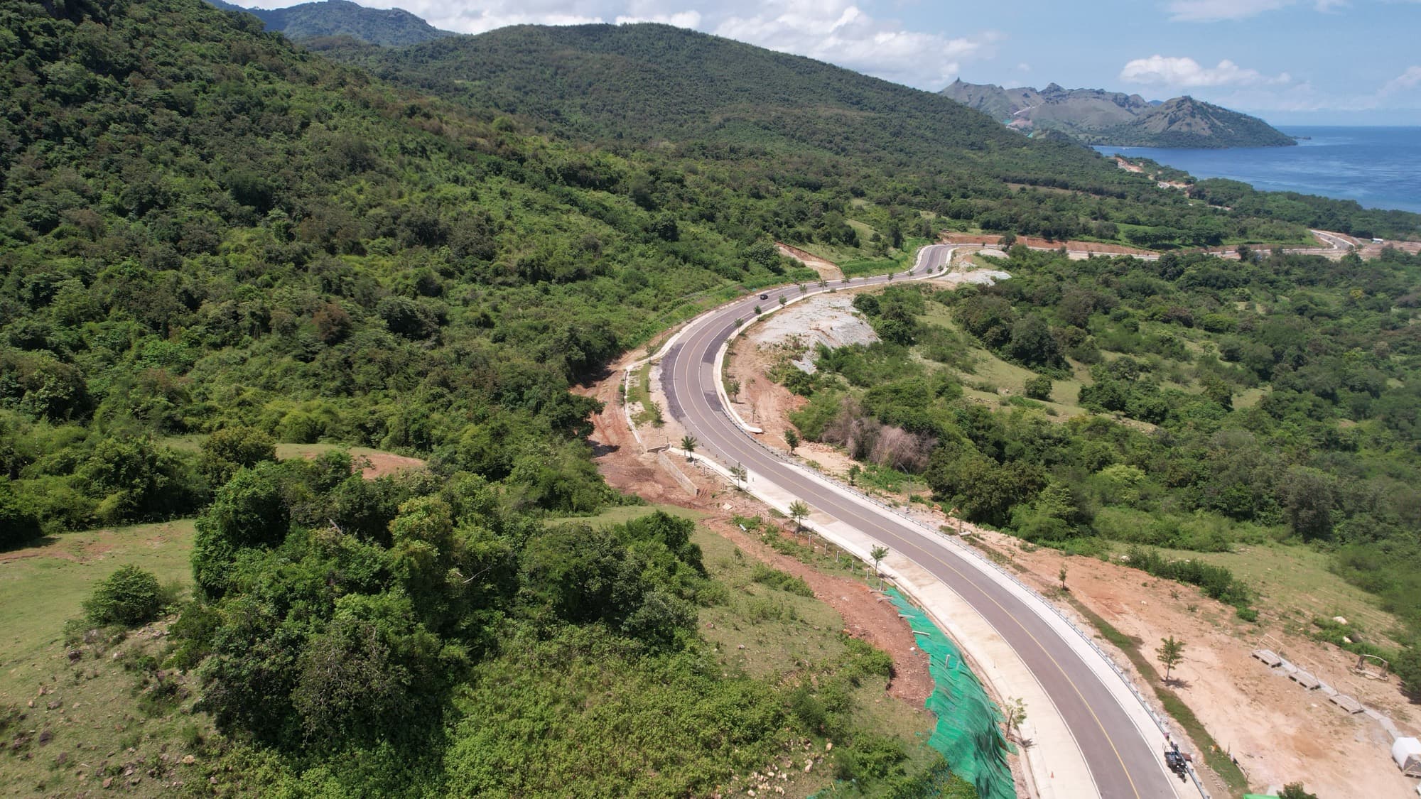
02Reading infrastructure beyond the map
A field study examining how a major road project was experienced by the people living alongside it, using the Infrastructure Justice framework.
 03
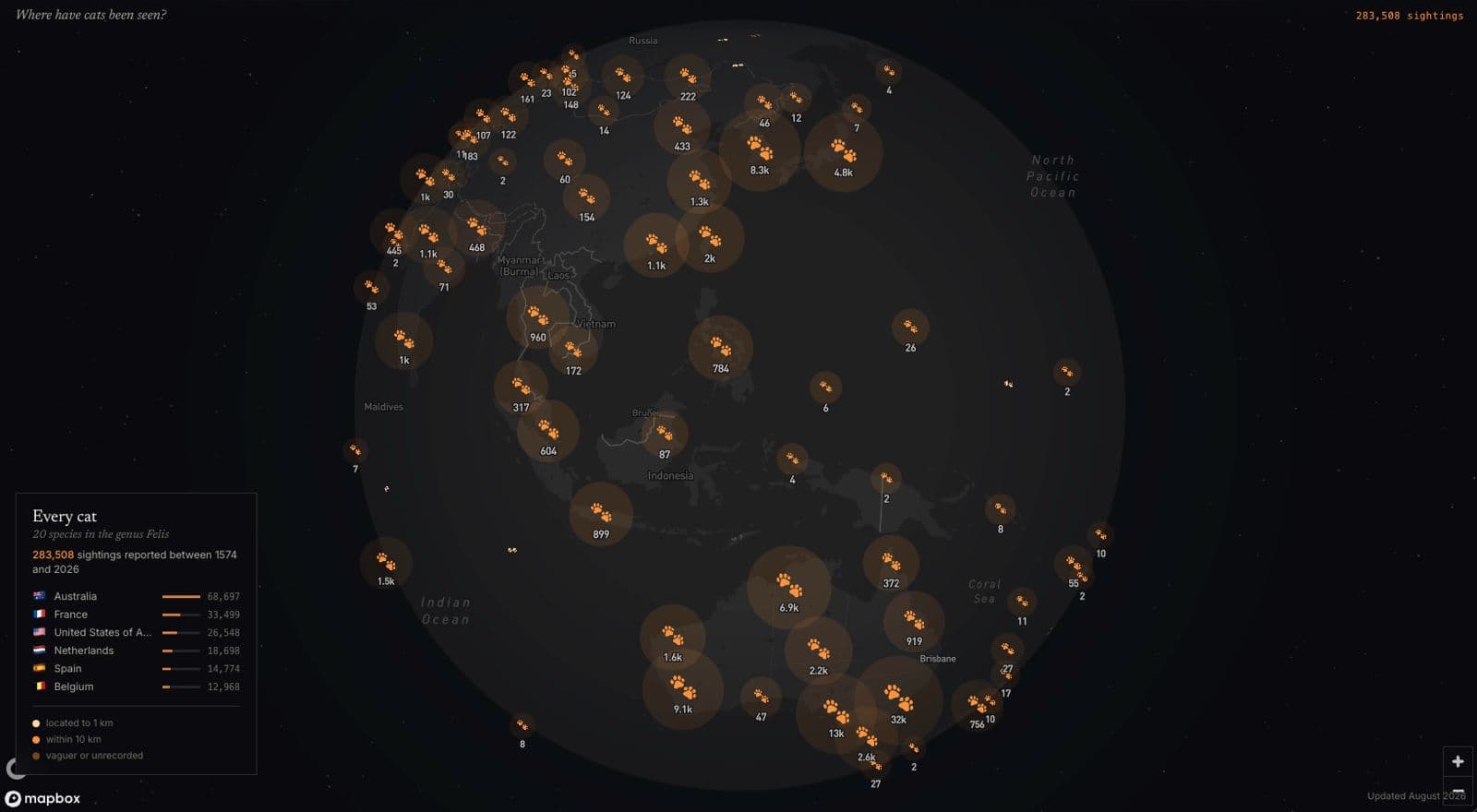
03Felis: an atlas of every recorded cat sighting on Earth
A personal cartography project mapping roughly 289,000 GBIF occurrence records for the cat genus Felis, from house cats to sand cats to Pleistocene fossils, built to answer exactly one question: where have they been recorded?
 04
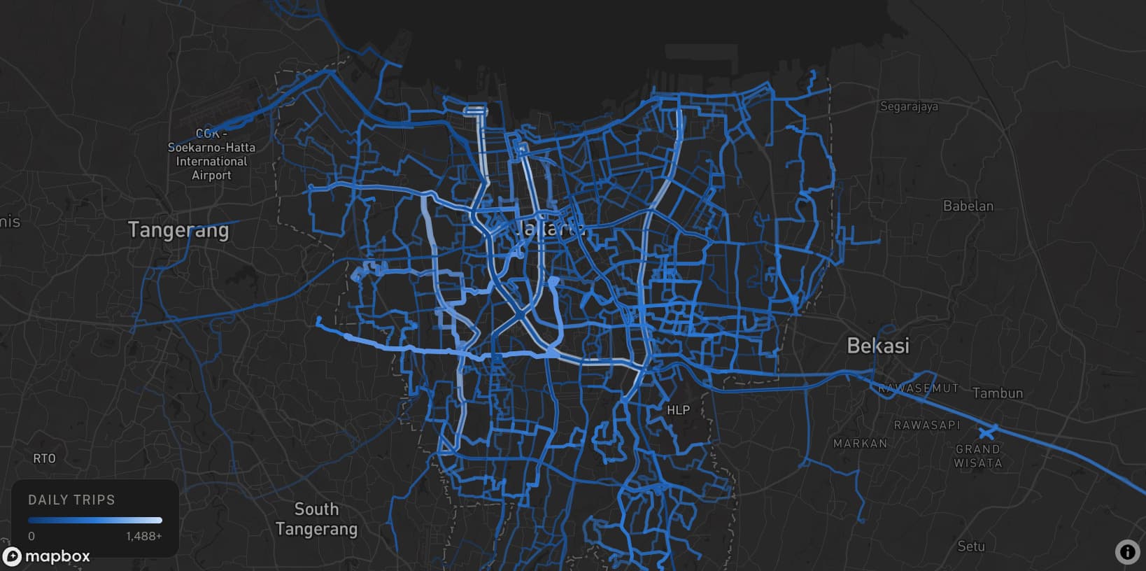
04Transit Pulse: Jakarta
An interactive transit analytics platform that transforms GTFS data into intuitive maps and visualizations for exploring Jakarta's bus network.
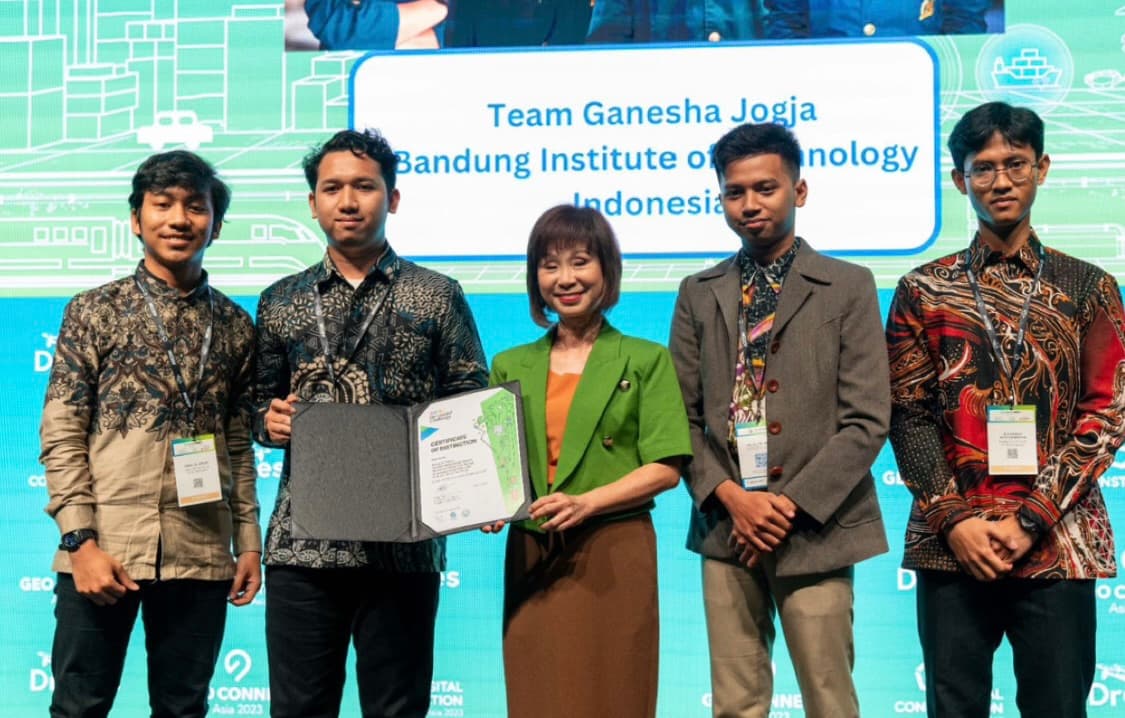
ASRI: an irrigation priority platform government could act on
2023Led a small team building a decision-support platform that showed where irrigation investment would do the most good, and stood behind it in front of the ministry officials who'd have to fund it.
Team Lead
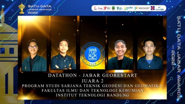
Determining an irrigation scheme through soil moisture analysis
2022Second place at Datathon Georestart Jawa Barat, using remote sensing to determine the best irrigation scheme for paddy fields.
Team Lead
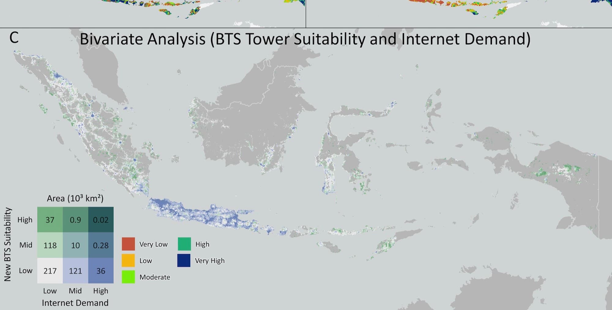
Geospatial intelligence for equitable BTS infrastructure planning
2023 to 2024Machine learning and geospatial analysis used to prioritize cellular infrastructure deployment toward universal internet access.
Research Team
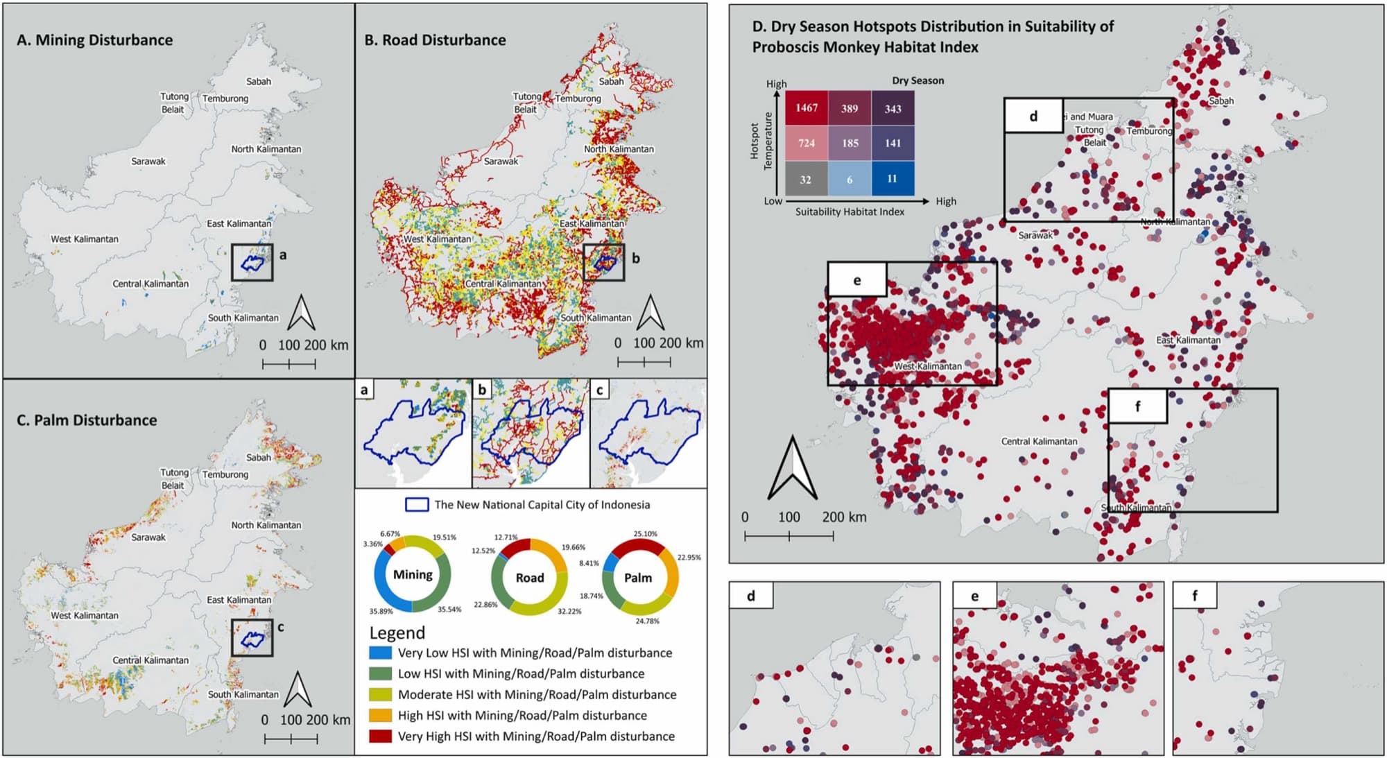
Mapping conservation priorities for the proboscis monkey
2023 to 2024Machine learning and remote sensing applied to identify priority conservation habitats for one of Borneo's endangered primates.
Research Team
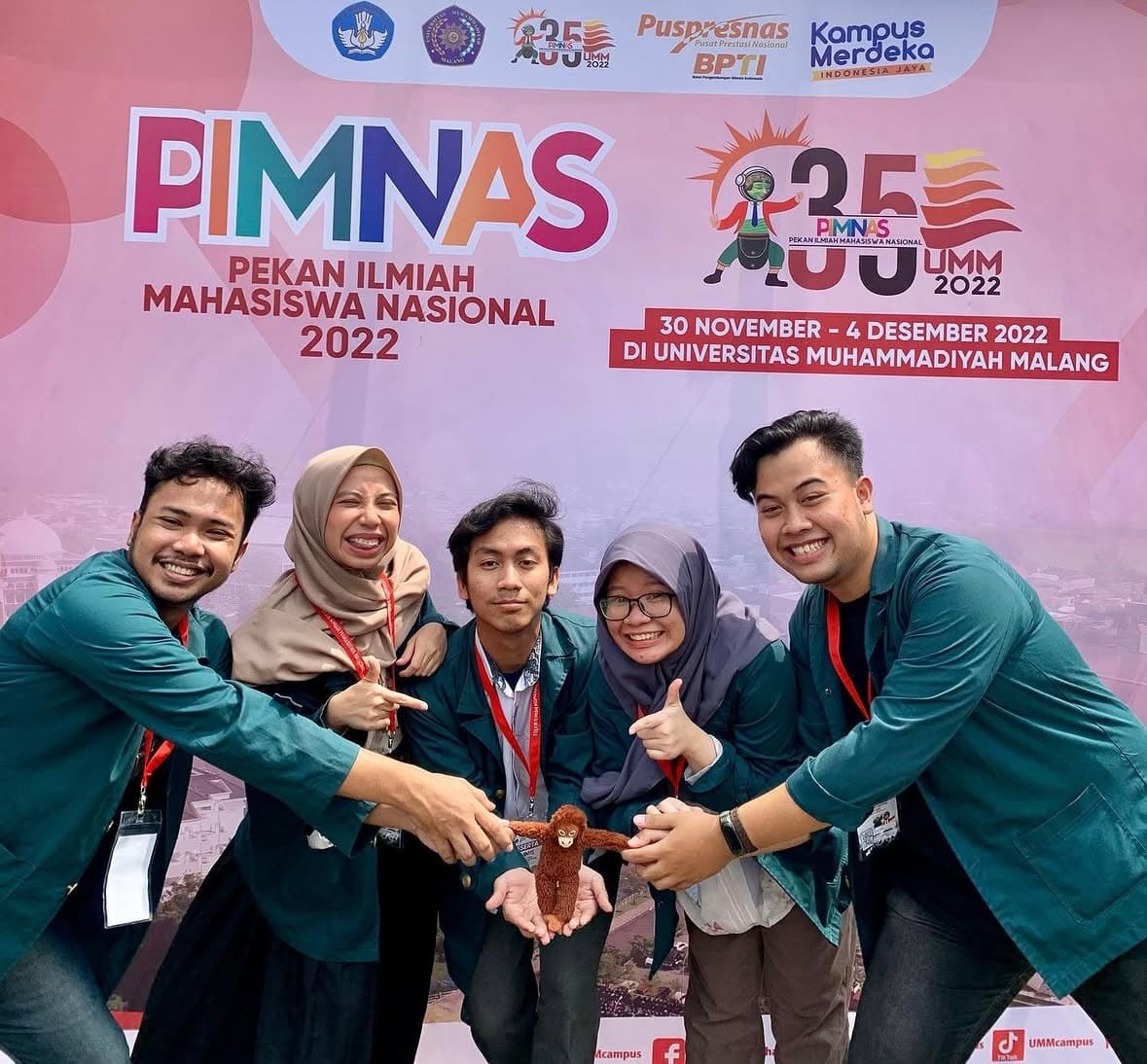
Habitat suitability modeling for Surili restoration
2022Geospatial habitat modeling supporting restoration planning for the endangered Surili across Java.
Research Team
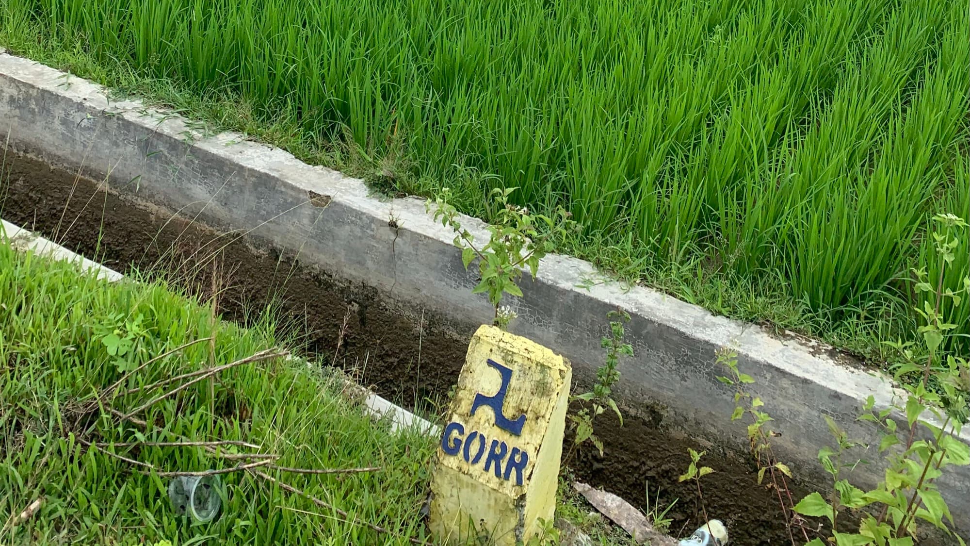
Mapping irrigation extensification potential for PUPR, then validating it in the field
2023 to 2024Built a nationwide model for where surface irrigation could realistically be extended, then took it into Gorontalo's rice paddies to check it against the ground, because a model is only as good as its last confrontation with reality.
GIS Consultant
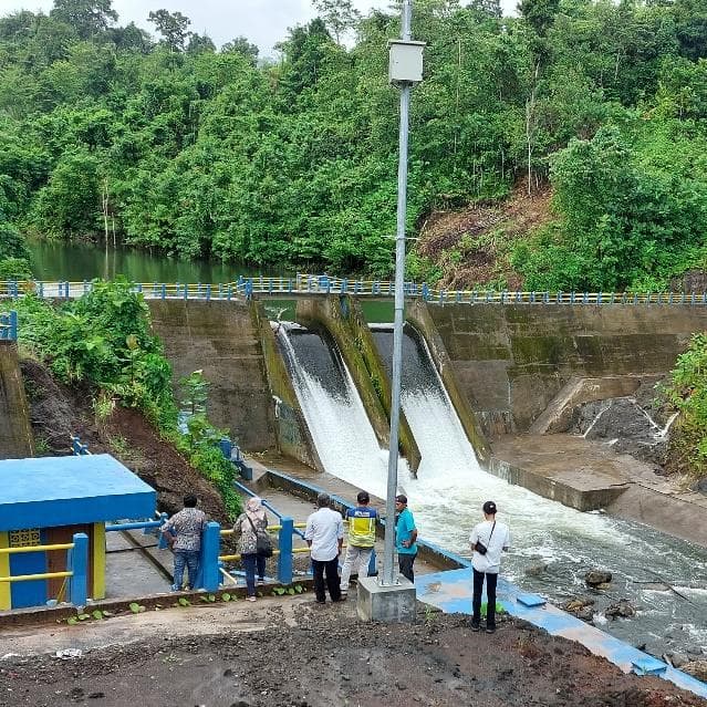
Evaluating and mapping infrastructure for Indonesia's Ministry of Public Works
March to September 2024As a GIS consultant with BPIW's Geo-Infrastructure Studio, checked whether public infrastructure was delivering on its design promises, and helped build the tool the ministry uses to track that at scale.
GIS Consultant, Studio Geo-Infrastruktur

Nusaventure: an interactive travel platform for Indonesia
2024A production-ready travel discovery platform combining interactive maps and curated local content to explore destinations across Indonesia.
Frontend Engineer