Reading infrastructure beyond the map
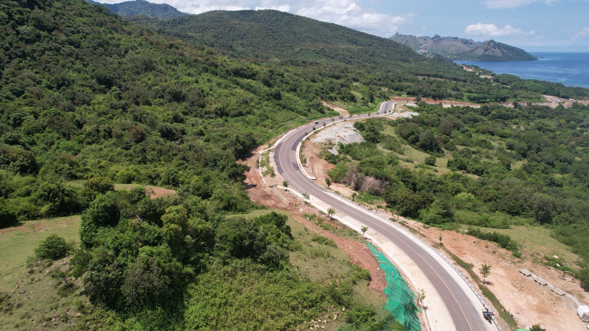
A field study examining how a major road project was experienced by the people living alongside it, using the Infrastructure Justice framework.
- Role
- Urban Planning Researcher
- Period
- 2026
- Location
- Labuan Bajo–Tana Mori Road, Flores, Indonesia
01Situation
Road projects are usually evaluated through engineering metrics and economic impact. Much less attention is given to how local communities experienced the planning process and the changes that followed.
02Approach
Conducted field interviews with local residents and the institutions actually shaping the corridor: the Ministry of Public Works and its regional infrastructure body (BPIW), the national roads agency (PJN III) that built the road, district Public Works and the district planning agency (Bappeda), the land agency (ATR/BPN), and ITDC, which operates the Golo Mori tourism zone the road leads to. Evaluated the project across five dimensions of infrastructure justice.
03Finding
The road itself was rarely questioned. What people talked about most was communication, participation, and whether decisions reflected the realities they faced every day.
04Outcome
The project reshaped how I think about infrastructure evaluation: maps and models explain what was built, but conversations on the ground explain whether it actually worked for people.