Mapping irrigation extensification potential for PUPR, then validating it in the field
Built a nationwide model for where surface irrigation could realistically be extended, then took it into Gorontalo's rice paddies to check it against the ground, because a model is only as good as its last confrontation with reality.
- Role
- GIS Consultant
- Period
- 2023 to 2024
- Location
- Indonesia, with field validation in Gorontalo, Sulawesi
01Situation
PUPR needed a defensible way to prioritize where surface irrigation could realistically be extended nationwide, not just where crops could grow, but where water balance and demand actually supported it. Gorontalo, a province central to food supply for Eastern Indonesia, was showing an odd disconnect between productivity and harvested area that the model needed to explain before anyone could trust it.
02Approach
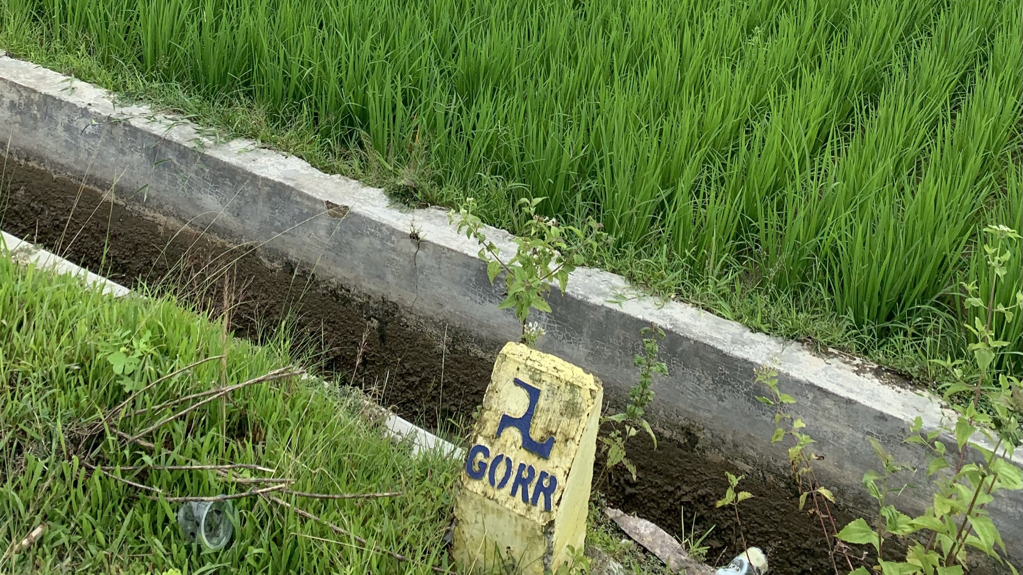
I built the recommendation model in Google Earth Engine, evaluating irrigation areas nationwide against a water balance index, water demand index, and vegetation condition index. Then I took it into the field: walking the Alopohu and Lomaya irrigation areas in Gorontalo, talking with local irrigation experts and farmers, and comparing the model's outputs against ground conditions the satellite data alone couldn't fully explain.
03Finding
The model distinguished genuinely viable extensification sites from areas that only looked promising on paper. In the field, the Vegetation Health Index correlated strongly with actual crop conditions, and the gaps that did show up (local water-distribution decisions the remote-sensing layer had missed) were just as useful: the kind of detail that only surfaces when you ask the people managing the water.
04Outcome
The model fed directly into PUPR's irrigation infrastructure planning, and field checks in Gorontalo confirmed better than 75% accuracy, directly informing how the prioritization study was refined for use in planning decisions.