Evaluating and mapping infrastructure for Indonesia's Ministry of Public Works
As a GIS consultant with BPIW's Geo-Infrastructure Studio, checked whether public infrastructure was delivering on its design promises, and helped build the tool the ministry uses to track that at scale.
- Role
- GIS Consultant, Studio Geo-Infrastruktur
- Period
- March to September 2024
- Location
- North Sulawesi, North Maluku, Bangka Belitung & East Java
01Situation
The ministry needed two things: field checks on whether specific dams, toll roads, and water systems were performing as designed, and a working decision-support tool that could give planners a live, mapped view of infrastructure programs.
02Approach
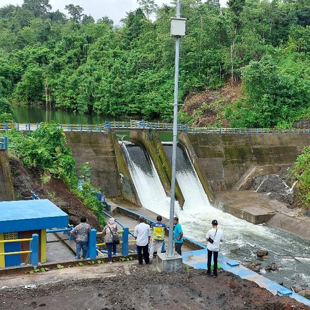
Across four trips, surveyed dam, water-supply, and toll-road infrastructure directly with residents and regional agencies in North Sulawesi and Morotai, piloted a mapped decision-support tool (the Virtual Situation Room) with its first regional users in Bangka Belitung, and built a spatial centrality model to score infrastructure priorities for East Java.
03Finding
The same pattern kept showing up: most performance gaps traced back to operations and tariffs, not construction. A toll road underused because of its pricing, wells built correctly but left unmaintained, a water system handed over with no management plan behind it.
04Outcome
Findings fed into BPIW's regional infrastructure reporting for the ministry, and the Bangka Belitung workshop's user feedback became a concrete build list for the tool's next iteration.