The line you can't see
A scroll-driven data story built on 3.8 million GBIF animal records, showing why Bali and Lombok, an hour apart by ferry, don't have the same birds.
- Role
- Independent Project
- Period
- 2026
- Location
- Indonesia, from GBIF biodiversity data
01Situation
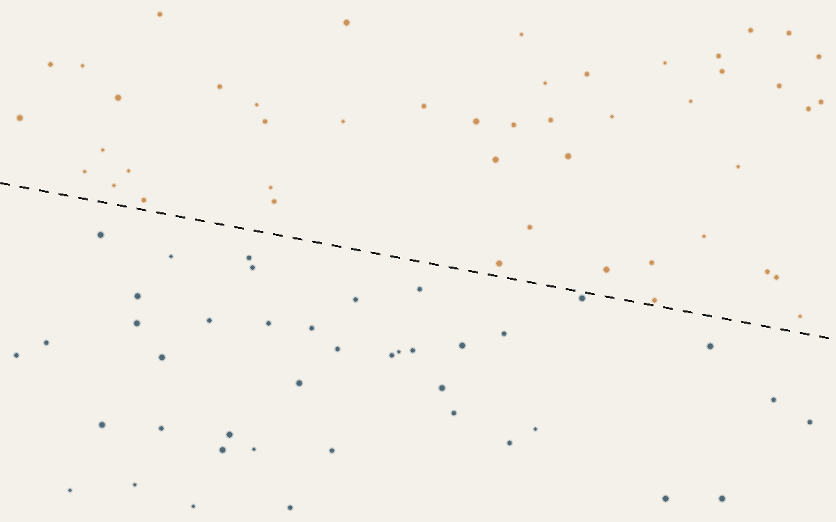
GBIF holds 3,830,283 animal records for Indonesia, showing a stark east-west imbalance in raw record density. The easy reading, that wildlife thins out east of Bali, is wrong, and mistaking recording effort for biology is a common trap in exactly this kind of data.
02Approach
Built a Python data pipeline against GBIF's Occurrence and Maps APIs, then instead of comparing raw record counts between islands, which mostly measure tourism and internet access, computed each island's 'marker rate': the share of its own bird records belonging to families of clearly Asian or Australasian origin. The result drives a scroll-driven Mapbox GL story that leads a reader to notice the pattern before it's named.
03Finding
Bali holds 288,661 bird records to Lombok's 13,380, roughly twenty to one, not because Bali has twenty times the birds but because it has airports, resorts, and two citizen-science platforms (eBird and iNaturalist) supplying more than half of all Indonesian animal records between them. Normalized by each island's own record total, the real pattern held up precisely where Wallace's Line and Lydekker's Line predict it should, with a distinct Wallacea fauna in between.
04Outcome
A sourced, checkable data story that walks a general reader from a simple question, why don't two nearby islands share the same animals, to a real biogeographic result, using only live GBIF data and no bundled occurrence dataset.